


The Brooklyn Queens Expressway (BQE) has stood as a testament to New York’s industrial prowess since its inception between 1937 and 1964. However, eight decades later, on the cusp of the highway’s BQE Central reconstruction plan, the BQE’s legacy reveals stark contrasts in urban planning and its lasting impact on different communities.
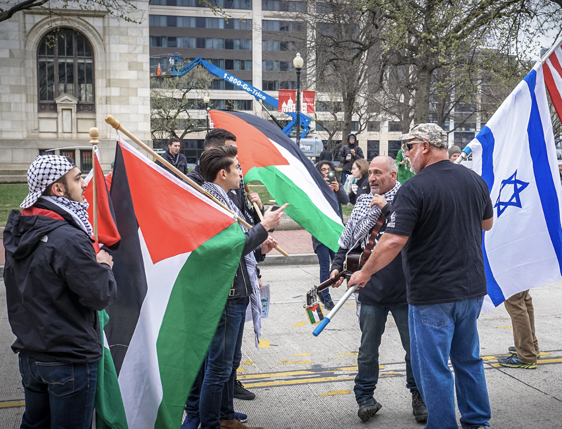
Every morning, Williamsburg resident Sarah Bates joins the ranks of 130,000 other daily BQE drivers, her typical commute taking her to and from work in Dyker Heights. On an average day, already 45 minutes into her drive home, Bates cues a new chapter of her audiobook, confident she will have enough time to finish it. “It takes me 60 to 75 minutes to get home every day on the BQE, and I live exactly 10 miles away,” said Bates.
As an infrastructure not originally designed for such a high volume of car and truck traffic, the BQE is facing structural concerns all along the corridor, most notably in the city-owned BQE Central triple cantilevered portion spanning from Sands Street to Atlantic Avenue. Nearing 80 years old, the structural defects and deterioration of this portion are the immediate concern of the New York City (NYC) and New York State (NYS) Department of Transportation (DOT). As part of the Adams Administration’s BQE Central Project introduced in September 2022, using federal funds newly available through the Bipartisan Infrastructure Law, the city will immediately begin work on a “necessary, long-term fix” with interspersed interim repairs — what the administration refers to as a “once-in-a-generation opportunity.”
Despite a primary focus on the city-owned BQE Central, the Adams administration identifies the need for a corridor-wide approach that addresses issues beyond the infrastructure. “We must reckon with the harm these 20th-century highways have caused communities of color in New York City,” said NYC DOT Commissioner Ydanis Rodriguez in a September 2022 statement. “While we undertake the BQE Central project, we will ensure we are also planning how best to reconnect other neighborhoods that have been split apart by this highway, from Bay Ridge to Greenpoint.”
For BQE North and South, NYC DOT has created a community outreach process engagement plan in hopes of reuniting communities north and south of the BQE. These initiatives include creating public spaces like parks and plazas and providing new mobility options for commuting, recreation, and commerce. Despite these engagement attempts, NYS DOT has “no plans” to “redesign the state-owned portion of the BQE” and is providing only “technical assistance” to city DOT as it studies the replacement of the 1.5-mile stretch between Atlantic Avenue and Sands Street, including the 0.4-mile triple cantilever section.
This plan, or lack thereof, for BQE North and South has concerned both community members and representatives. “There, unfortunately, is no work happening in Williamsburg, which has been an environmental justice community that has been negatively impacted by the BQE for many decades,” said Lincoln Restler, the elected official for District 33, which encompasses various neighborhoods including Williamsburg, Greenpoint, Brooklyn Heights, and Downtown Brooklyn.
Other elected officials echoed similar concerns about the BQE’s impact beyond the crumbling cantilever section, urging collaboration with the NYS DOT. As repairs progress, the New York City Council’s 2022 report question remains relevant: “How can we use [these repair] opportunities to rethink not just the triple cantilever, but the entire I-278 corridor to achieve a range of goals beyond just moving over 150,000 vehicles a day through our dense and vibrant city?”
The BQE’s Historical Impact and Evolution
From 1937 to 1964, American urban planner and public official Robert Moses constructed the nearly 15-mile BQE. This highway uprooted the hearts of several of the most densely populated neighborhoods in the world, isolated and divided neighborhoods, and overwhelmed them with traffic and pollution. Moses’ destruction was comparable to “the blast of an atom bomb,” wrote American historian and sociologist Lewis Mumford in his book The Big Roads.
The BQE’s initial infrastructure linked Greenpoint, Brooklyn’s Meeker Avenue, by way of the Kosciuszko Bridge, to Queens Boulevard in Sunnyside, Queens. Moses’ development of the highway in the working-class neighborhoods of Greenpoint and Williamsburg displaced thousands of Jewish, Polish, Italian, and Puerto Rican immigrants. The highway cut through the main commercial stretch along Meeker Avenue, consuming dozens of blocks and hundreds of buildings.
Moses continued his destructive path through Downtown Brooklyn, replacing the former neighborhood center with parking lots and on-ramps for the bridges to Manhattan. In Red Hook, which housed Brooklyn’s largest public housing project at the time, the highway physically divided the area from the rest of the city. In Sunset Park, Moses built the highway directly down the commercial heart of the neighborhood on 3rd Avenue, despite desperate community requests to have it just one block over on the industrial 2nd Avenue. In a publicized 1974 3,500-word response to The Power Broker, a critical biography of him by Robert Caro, Moses said, ”I raise my stein to the builder who can remove ghettos without removing people as I hail the chef who can make omelets without breaking eggs.”
The neighborhoods torn down and displaced by Moses for the BQE construction were predominantly labeled as grade D “hazardous” — or redlined — by government programs. These “D” areas, largely composed of working-class, immigrant, or Black communities, were considered by the federal government as zones with a high likelihood of property value decline and, therefore, excluded from various homeownership and lending initiatives. “With the difference between the way the highway was handled in Sunset Park, Williamsburg, or even Cobble Hill, which was not a fancy neighborhood at the time, Moses literally wrote racism into the landscape of New York,” said Elijah Sivin, a history teacher at Poly Prep who has taught a course on the history of New York course since 2018.
Between Downtown Brooklyn and Cobble Hill stands Brooklyn Heights, the only neighborhood Moses chose to build around rather than through. As a Second Tier “B” rated neighborhood with a reputation for being White and upper class, along with the Bay Ridge Area, Brooklyn Heights had the highest redlining rating of all the neighborhoods in Moses’ BQE plan. Had he been able, Moses would have extended the trench along Hicks Street, potentially demolishing Brooklyn Heights too. However, the residents of the Heights, possessing greater political influence than those in the redlined neighborhoods, managed to negotiate a compromise, leading to the creation of the Promenade and, therefore, preserving their neighborhood. “I think Robert Moses knew what he would be up against in the Heights and decided it would not be worth fighting people who owned some of the most expensive property in the city, and who knew what buttons to press,” said Mary Frost of the Brooklyn Eagle, who has covered the BQE and its repair plans extensively.
Rather than a highway slashing through the center of Brooklyn Heights, Moses built a three-level cantilevered highway, the core of BQE Central, on the edge of the neighborhood with the public Promenade park on top as a cover. As the expressway’s most distinctive feature, it was built to conserve space and minimize intrusion into the surrounding neighborhood. “In Brooklyn Heights, you’ve got this lovely promenade with a beautiful view of Manhattan,” said Sivin. “This may be the one neighborhood you could argue was actually improved by the BQE.”
The BQE Today: Repairs, Progress and Challenges
Moses’ unorthodox building approach has not stood the test of time and is crumbling under the intense car and truck pressure it endures daily. As an initial proposed plan, in September 2018, then-Mayor Bill de Blasio proposed a plan to, for six years, temporarily transform the historically-protected Promenade into a six-lane superhighway. This plan would have created an elevated, six-lane highway at the level of the existing Promenade, which would close the pedestrian walkway and demolish Harry Chapin Playground. Brooklyn Heights fiercely fought the proposal through protests and involvement with community organizations such as the Brooklyn Heights Association (BHA) and A Better Way (ABW). “People in the neighborhood organized very quickly against what we really felt like was kind of a crazy, misguided plan. And in the end, the mayor was forced to back down from that plan,” said Lara Birnback, executive director of the BHA.
After De Blasio’s Promenade highway plan was shut down, his expert panel came up with the popular “20-year plan” to keep patching the highway where needed for up to two decades while the city and state could work together on a visionary solution that would focus on the cantilever while improving the BQE for neighborhoods to the north and south, meeting the city’s goals of lowering pollution and remedying historical wrongs. Frost describes the 20-year plan as “a sensible plan.”
Under Mayor Eric Adams, the city has adopted a more aggressive approach to the BQE’s rehabilitation. Shifting from former Mayor Bill de Blasio’s 20-year vision, Adams’ administration aims to leverage the Infrastructure Investment and Jobs Act (IIJA) for a faster overhaul, particularly for the city-owned section of BQE Central. This move, however, has not been without its controversies. By dumping the 20-year plan in order to obtain federal infrastructure funds, “the city once again ignored the concerns of areas north and south, whose neighborhoods have been polluted and cut in two by the expressway for 70 years,” said Frost. “Instead of having the time to come up with a long-term plan that would improve the environment all along the corridor, the city is racing to slap something in place just for the Heights before a federal deadline.”
In December 2022, the city revealed three conceptual plans for the BQE — The Stoop, The Terrace, and The Lookout — all concentrating on the central part of the BQE. However, these proposals were quickly criticized for “greenwashing” what was, in reality, a highway expansion plan. “I think given their focus on rebuilding a six-lane behemoth, they did a lovely job of presenting it with lots of green magic marker, and I think they’re creative people given the wrong premise,” said BHA board member Cindy McLaughlin in an interview with Brownstoner.
These proposals and similar proposals that have followed since have faced criticism for perpetuating a car- and truck-centric approach that continues to fail to create a plan to mitigate the highway’s historically negative community and environmental impacts. “It’s sad to see the city’s text invoking the negative history of urban highway construction while seeking to cement that legacy for the rest of the 21st century,” said Jon Orcutt, a former city transportation official, in a Streetsblog article.
In August, 16 organizations and elected officials sent a letter rejecting the city’s BQE rehab plans. The letter expressed dissatisfaction with the current and past repair plans, citing environmental and community impacts. “The state and city’s failure to commit to transformational alternatives in the North and South sections of the corridor perpetuates the racial and economic injustice this highway already represents,” the group wrote.
DOT spokesperson Vincent Barone responded to the letter and said, “We will not wait decades and needlessly spend hundreds of millions of additional taxpayer dollars keeping this outdated structure as it is today. The Adams Administration is seizing a once-in-a-generation opportunity to access the federal funding necessary to reimagine and rebuild a safe and resilient BQE while addressing a corridor wide vision to address historic inequities.”
Contrasting Neighborhood Impacts and Resources
Neighborhoods such as Brooklyn Heights, with its affluent demographic and median income of $184,445, have long been a bastion of influence in the history of the BQE. “Brooklyn Heights is a very lucky and privileged neighborhood. It has the resources and the ability to influence decision-making, often at very high levels,” said Birnback. In contrast, Williamsburg, particularly its Southside with a median income of $68,162, has faced the brunt of the BQE’s environmental and social impacts.
Out of the 39 community organizations and groups on the BQE Vision Council, which meets on a regular basis to discuss the BQE plans and meet with the DOT, over a quarter of the councils represent Brooklyn Heights and its direct neighbors, with less political power and representation coming from the other historically affected neighborhoods. “Every neighborhood along the BQE has suffered from terrible air quality, noise, vibrations, and other problematic impacts,” said Restler. “[The plan for BQE Central] should set a model for what should happen in other neighborhoods.”
The BQE’s environmental impact, especially on neighborhoods like Williamsburg and Sunset Park, is significant. The proximity of the expressway to residential areas has led to increased noise, air pollution, and restricted access to jobs and resources. Woodhull Hospital in Williamsburg treats more asthma-related cases than any other city hospital, with rates in South Williamsburg being double the citywide average and the third highest number of asthma cases out of 59 districts in New York City. These statistics correlate to the BQE based on an air quality study co-sponsored by the Williamsburg community organization El Puente and the New School’s Tishman Environment and Design Center. This study analyzed four parks and found elevated PM2.5 levels unsafe for park users and community members and contributing to the health and asthma crisis in South Williamsburg. “I live five or six blocks away from the BQE. Every time I clean the apartment, there’s black soot that comes off the window sills,” said Bates.
Williamsburg community organizations like El Puente have called attention to the community separation, health issues, and overall struggles caused by the BQE in Williamsburg’s Southside. “We are calling for the process to be more focused on a comprehensive plan so as not to make the same mistakes with the BQE that were made in the past,” Daniella Castillo, Program Director for El Puente’s Greenlight program, said in an interview with the Brooklyn Daily Eagle. “Seeing as the harm caused by Robert Moses has been invoked throughout this process, we want to be sure that billions of dollars don’t go towards reinforcing the existing infrastructure, and instead on the potential to move away from a dependency on it.”
BQE Central has had lane reductions since 2021 to reduce traffic as a way to minimize the physical demand on the roadway and encourage decreased dependence on private vehicle transport. Urgent health concerns of BQE North and South communities affected have not seen similar strides that could also improve environmental concerns and community health, as no structural changes have been made.
In the meantime, while the NYCDOT promises to continue to engage with NYSDOT to create a partnership that can “bring about real and valuable change,” communities along all portions of the corridor are acting on common goals through committees such as the BQE Vision Council and the Coalition for the BQE Transformation. Although composed of a “Brownstone Brooklyn”-heavy presence, both committees do have representatives from various diverse affected neighborhoods and claim community union as a primary goal.
“We all suffer from the BQE. And we all think we need a sustainable and environmentally friendly path forward,” said Birnback. “We are telling the city they can’t divide us against one another, we are not going to use differences as a wedge. All of the neighborhoods are going to unite around this issue together.”